Using the Atlas
For tips on how to use the Atlas, check out our video tutorial or the step-by-step instructions below!
Follow these steps to find the information you need from the National Zoning Atlas!
Locate your town on the Atlas using the Zoom To filter. Pick the state first, then pick the county—or skip the county and choose your town. You have to select your town to see the filtering results in (4).
1)

If you're just looking for where single-family, apartments, or accessory dwellings are allowed, use the Show Me Where toggles.
2)

If you have something more specific in mind, use the Advanced Filters to first select the kind of housing (e.g., single-family or multi-family) you're interested in. Then you'll see a drop-down menu showing minimum lot size, minimum parking requirements, and more.
3)

The map will show (in purple) where the land meets the criteria you've chosen. To figure out how much land in the town meets that criteria, check out the Filtering Results.
4)

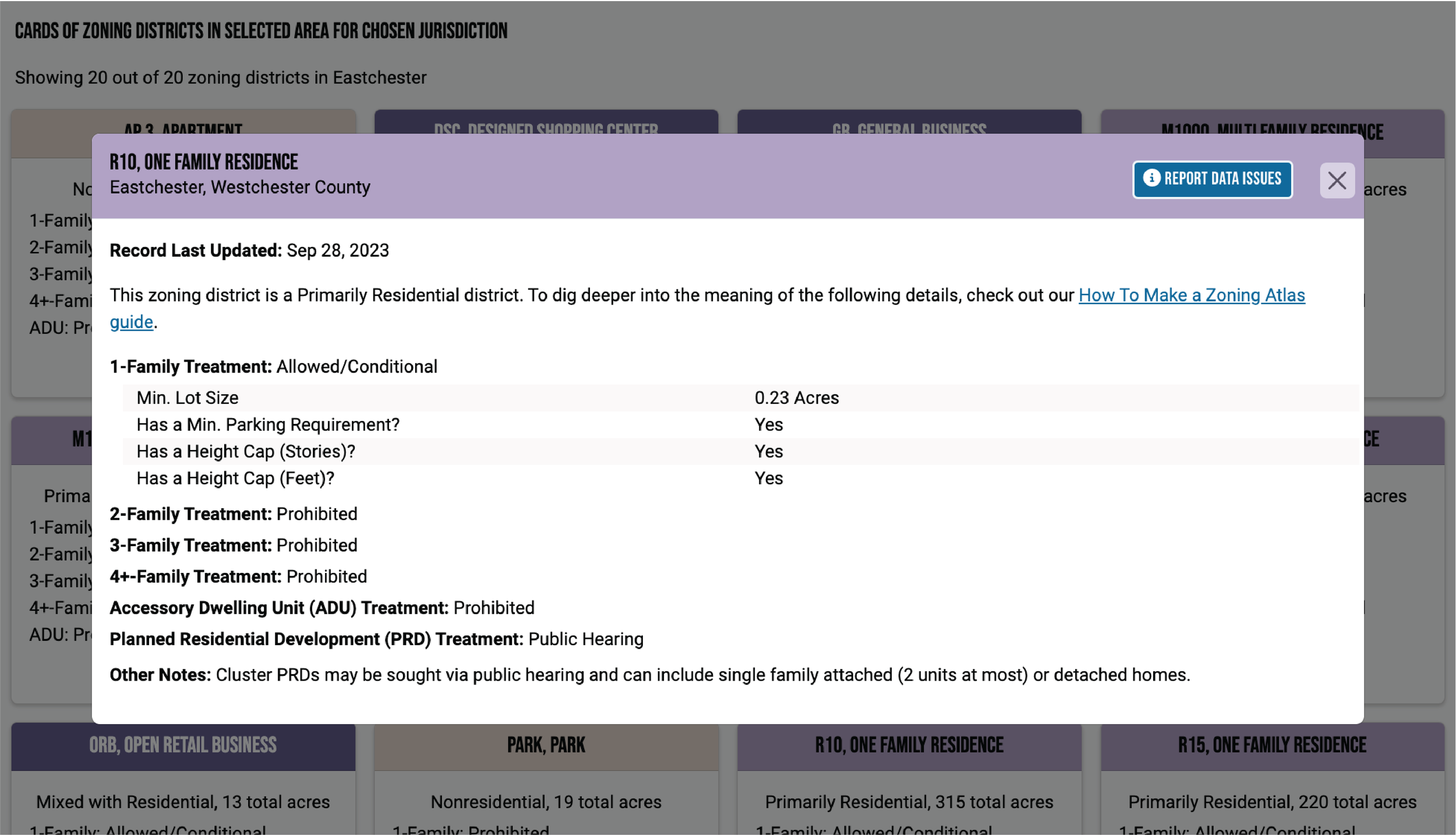
For more information about each of the zoning districts associated with your selected criteria, scroll below the map to view the Zoning District Cards. Click a card for a granular breakdown of the zoning district.
5)
Want to see how neighboring towns zone? Deselect your town by pressing the red Deselect button, and repeat the above steps to investigate.
6)

Screenshot your maps and share them with your community or audience!